
Land Use Authority Process

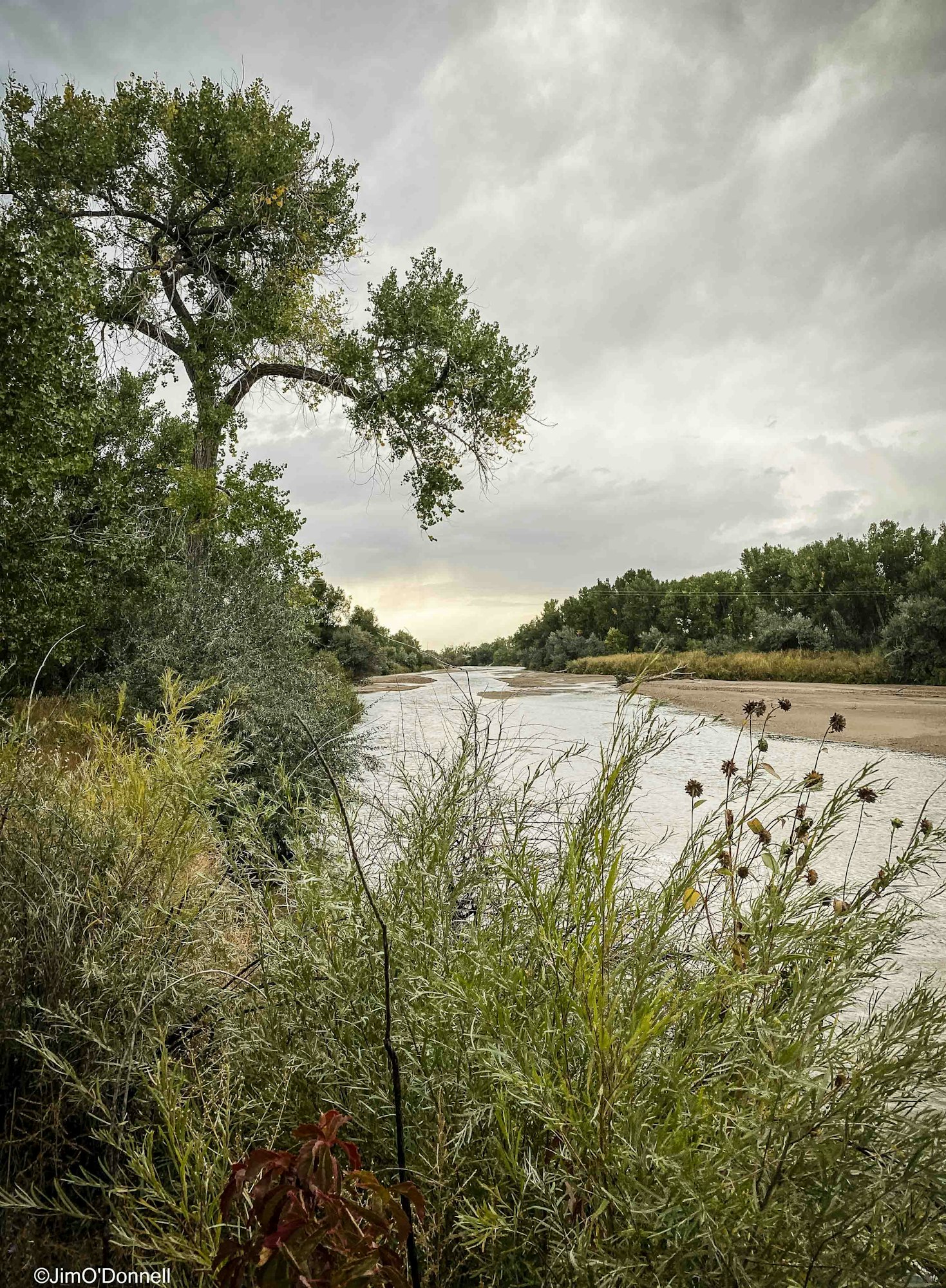
Fountain Creek - Photo by Jim O'Donnell
We help you navigate watershed requirements efficiently and avoid problems later.
The District has full land use authority in the Fountain Creek corridor (defined as the 100-year floodplain south of the city of Fountain and north of the city of Pueblo), and recommending authority over land use activities outside the corridor.
Not sure where your project falls in the District? Contact us before submitting.
We review to ensure the project:
- Reduces flood and erosion risks
- Protects water quality
- Supports the use of native vegetation for resilient and sustainable restoration
- Aligns with watershed-wide restoration efforts
- Doesn’t create downstream impacts

How the process works:
- Submit Materials to fountainckdist@gmail.com This includes a checklist, plans/maps, application, project schedule, and fees
- Initial Review and Meeting: The Project proponent must provide an overview of the project during a consultation with the Executive Director and/or Operations Manager, to receive feedback on the concept.
- Present to District Committees: The next step of the review process involves presenting to the District’s Technical Advisory Committee (TAC), and the Citizens Advisory Group (CAG). Feedback will be provided and requests for modifications may be made.
- Present to the District Board of Directors: A final presentation to the Board of Directors must be made, where they will review and provide a decision.
Application Materials and Fees
Use the materials below to prepare your submission.
https://www.fountain-crk.org/design-criteria-manual
Land Use Application within the Corridor, Cost of Service WorksheetPublic Notice ProcedureSubmittal Checklist for Projects within the Fountain Creek CorridorCommon Land Use, Stormwater, and Floodplain Management Abbreviations and Acronyms

